Campsite map The campsite at a glance

Wondering where your tent will be, or where to find the dog exercise area, washroom building or playing field? Our map shows the layout of Camping Kotestee. View it below or download it as a PDF.

Download the campsite map
http://Map%20of%20Camping%20Kotestee%20in%20Ouddorp

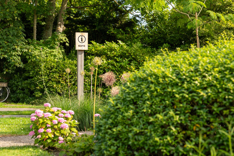
AReception

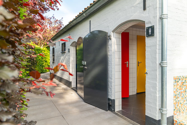
BToilets and showers

CChemical toilet disposal

DPlayground

http://Children%20playing%20in%20the%20playground%20at%20the%20campsite%20in%20Ouddorp

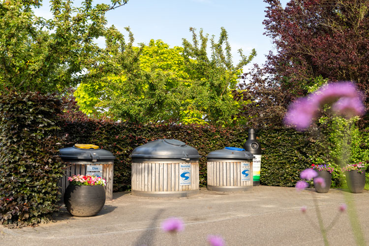
ERecycling point

FWestduinen viewpoint

http://Wooden%20bench%20with%20an%20inscription%20at%20the%20entrance%20to%20Camping%20Kotestee%20in%20Ouddorp

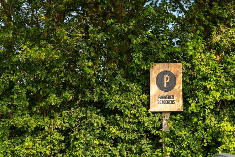
GVisitor parking

HDog exercise area

http://Poppies%20on%20the%20sandy%20mound%20beside%20the%20Westduinen%20near%20Camping%20Kotestee

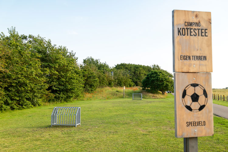
IFootball field

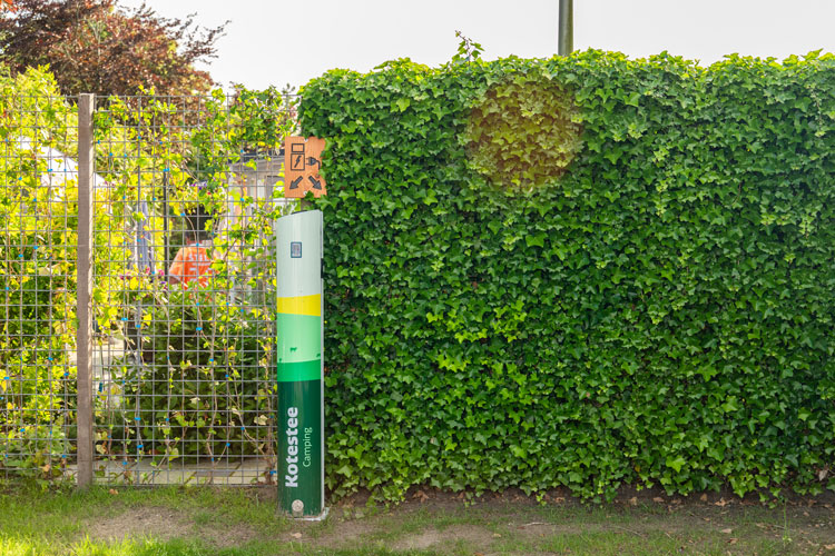
JElectric vehicle charging point

KMini library

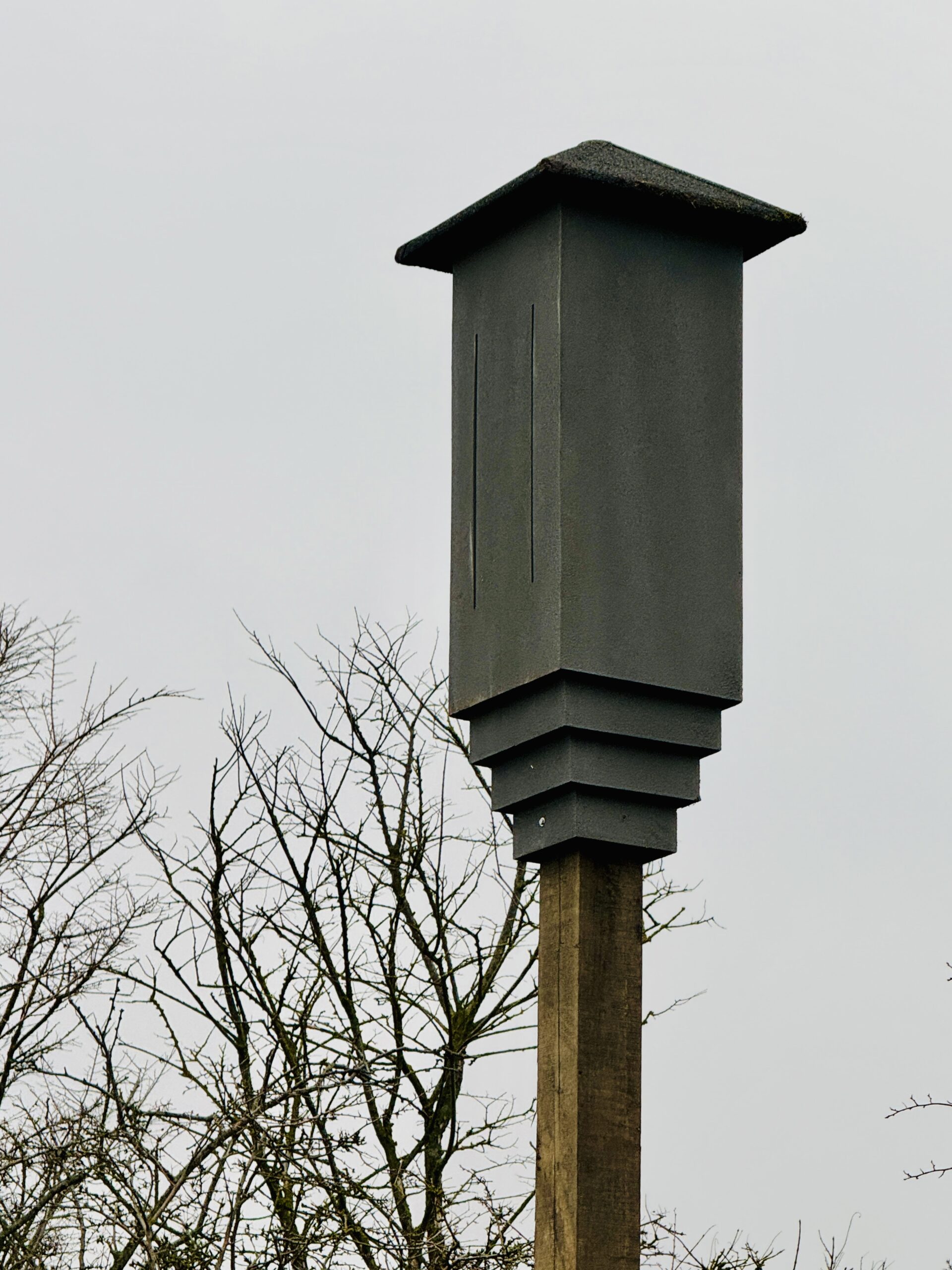
LBat roost pole

Natural grounds

Camping Kotestee is not a campsite of straight lines and neatly aligned lanes. It developed organically from a farm with fields and open spaces, and that history remains visible. The rolling pattern of the dunes is reflected in subtle changes of level across the grounds, making every field a little different.

Aerial photograph of Camping Kotestee beside the Westduinen in Ouddorp